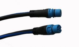
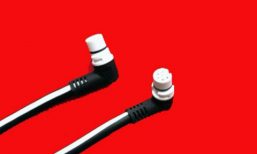
NAVIONICS – MSD/NAV +NU All Areas selectable LARGE Area. You select the Area that you want for anywhere in the world (one Small area)
All-in-one max detailed cartography for marine and lakes makes Navionics+ the perfect choice for cruising, fishing and sailing.
Get the most accurate navigational data for your GPS plotter, an exclusive 0.5 m HD bathymetry map which is enhanced by boaters like you, and unique local content shared by Navionics app users.
We make thousands of edits every day, so you can always have the most current charts.
Daily updates and advanced features are included for one year.
NOTE.
The map card is blank (this is normal as they need activation) (these are the Small area cards) so you will need to select the area that you want and download the maps as per the Navionics web site
https://www.navionics.com/aus/my-card/activate-update
There is a selection to download the chart updater and once installed then you can activate the correct area required.
Its best to do this on a Windows machine


